Где искать: по сайтам Запорожской области, статьи, видео ролики
пример: покупка автомобиля в Запорожье
Mapping Vocab Explainer: Hydrography & Cartography | Nautilus Live
 У вашего броузера проблема в совместимости с HTML5
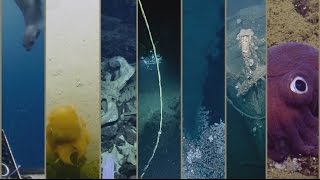
Mapping the seafloor can be a complicated process- from gathering data to visually representing it, scientists work with engineers, artists, and navigators to ensure the best information is available. In this video, Science Communication Fellow, Illustrator, and Cartographer Abrian Curington explains cartography, hydrography, and other seafloor mapping terms.
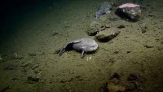
Nautilus expeditions often take the opportunity to gather high-resolution data of the seafloor to provide scientists with a better understanding of the world’s oceans. This enables responsible decision-making regarding the management and maintenance of our planet. Nautilus is a participant in the Nippon Foundation-GEBCO Seabed 2030 project aiding in the effort to map 100% of Earth’s seafloor at a high resolution by the end of the decade.
Learn more about seafloor mapping terminology: https://nautl.us/3PXgTcZ
E/V Nautilus is exploring unknown regions of the ocean seeking out new discoveries in biology, geology, and archaeology. Join us 24/7 for live video from the seafloor and to ask questions of our explorers currently aboard Nautilus: www.nautiluslive.org.
Follow us on social media for dive updates, expedition highlights, and more:
Subscribe on YouTube: www.youtube.com/subscription_center?add_user=EVNautilus
Facebook: www.facebook.com/nautiluslive
Twitter: www.twitter.com/evnautilus
Instagram: www.instagram.com/nautiluslive
TikTok: @NautilusLive